This page and associated pictures illustrate the key views across the village from various significant vantage points around the parish. Each view is represented by two .jpg files. The first, a wide angle photograph, the second a more focused exposure of a narrower angle.
To allow the .jpg files to be magnified and examined in detail they have been taken at the maximum definition obtainable with the equipment used. To allow the .jpg files to be readily down loadable each view shot is contained in a separate file folder for that view. Each .jpg file folder is designated numerically to correspond with the views described in Policy HE1 starting with "View towards St. Peter's Church and over the village from Cress Hill" the wide angle shot is designated.1a), the narrow angle 1b) and so forth for each view. Each .jpg file is detailed in the table on the following page, this table includes .jpg number; GPS coordinates of the position of where the shot was taken; and the compass bearing in the general direction of the photograph.. Each exposure has the exact location and compass bearing embedded in the .jpg file which can be viewed via the programme below.
It should be noted that the equipment used is readily available to an amateur, therefore, due allowance and a suitable range of tolerance be taken into account when using the GPS and compass bearing data.| Cherished Views | ||||||
|---|---|---|---|---|---|---|
| View | View Name | Image File | GPS Coordinates | Compass Bearing | ||
| Number | North | West | Cardinal | Degrees | ||
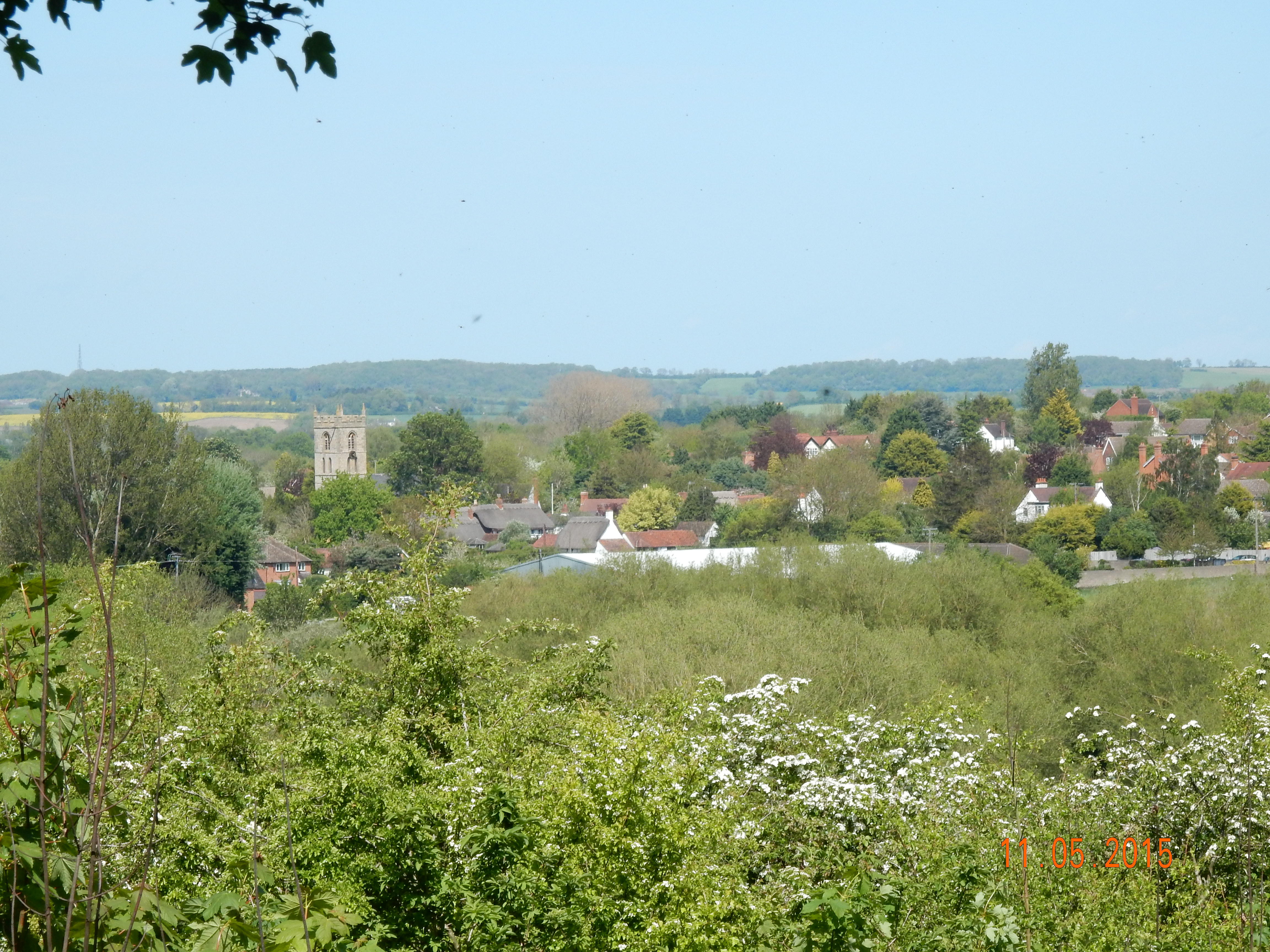
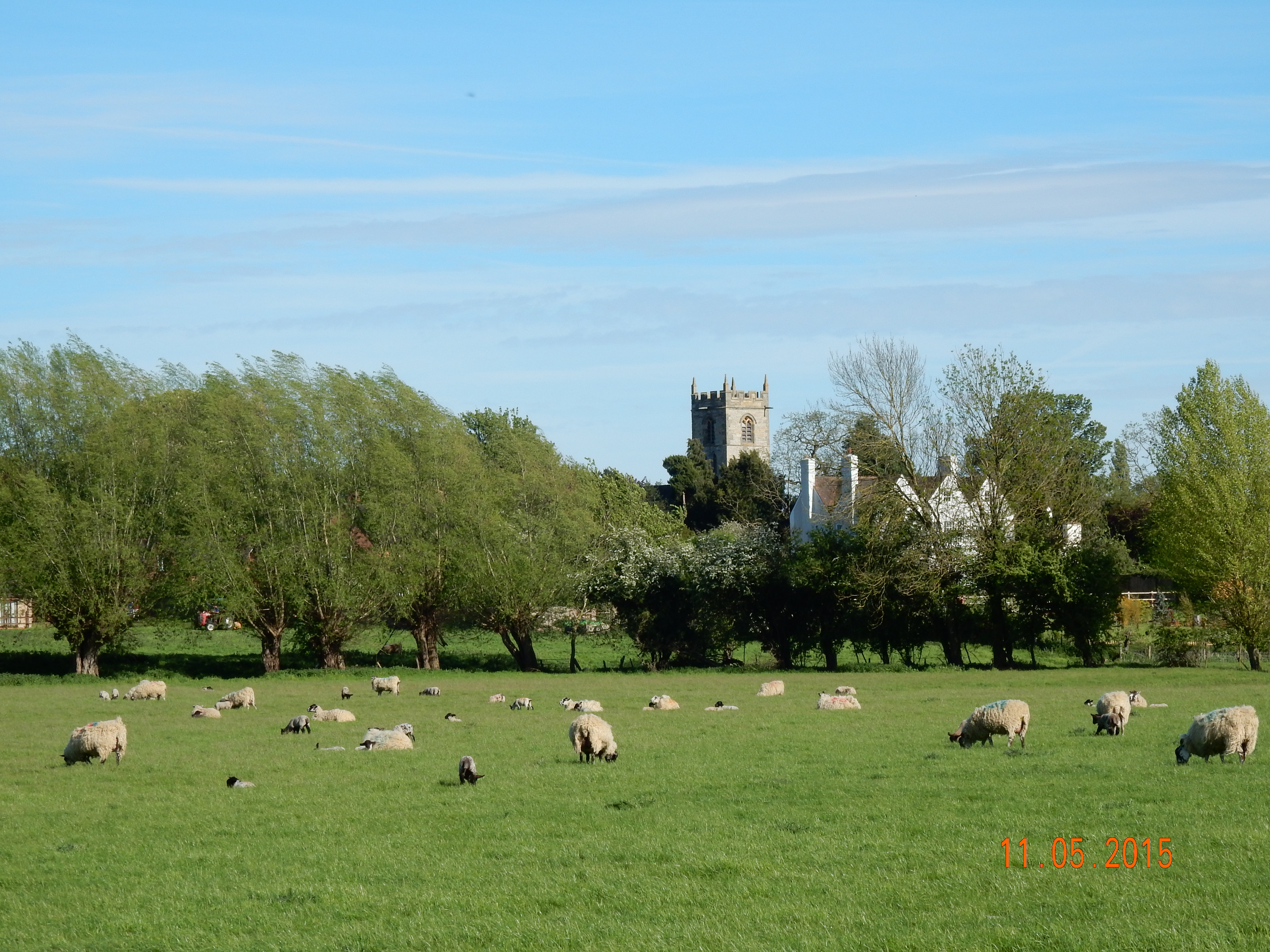
| 1a) | View towards St. Peter's Church and over the village from Cress Hill. wide angle. | DSCN0068 | 52°9.634' | -1°47.798' | North by East | 05.11° |
| 1b) | Ditto. narrow angle. | DSCN0069 | 52°9.634' | -1°47.798' | ditto | 05.11° |
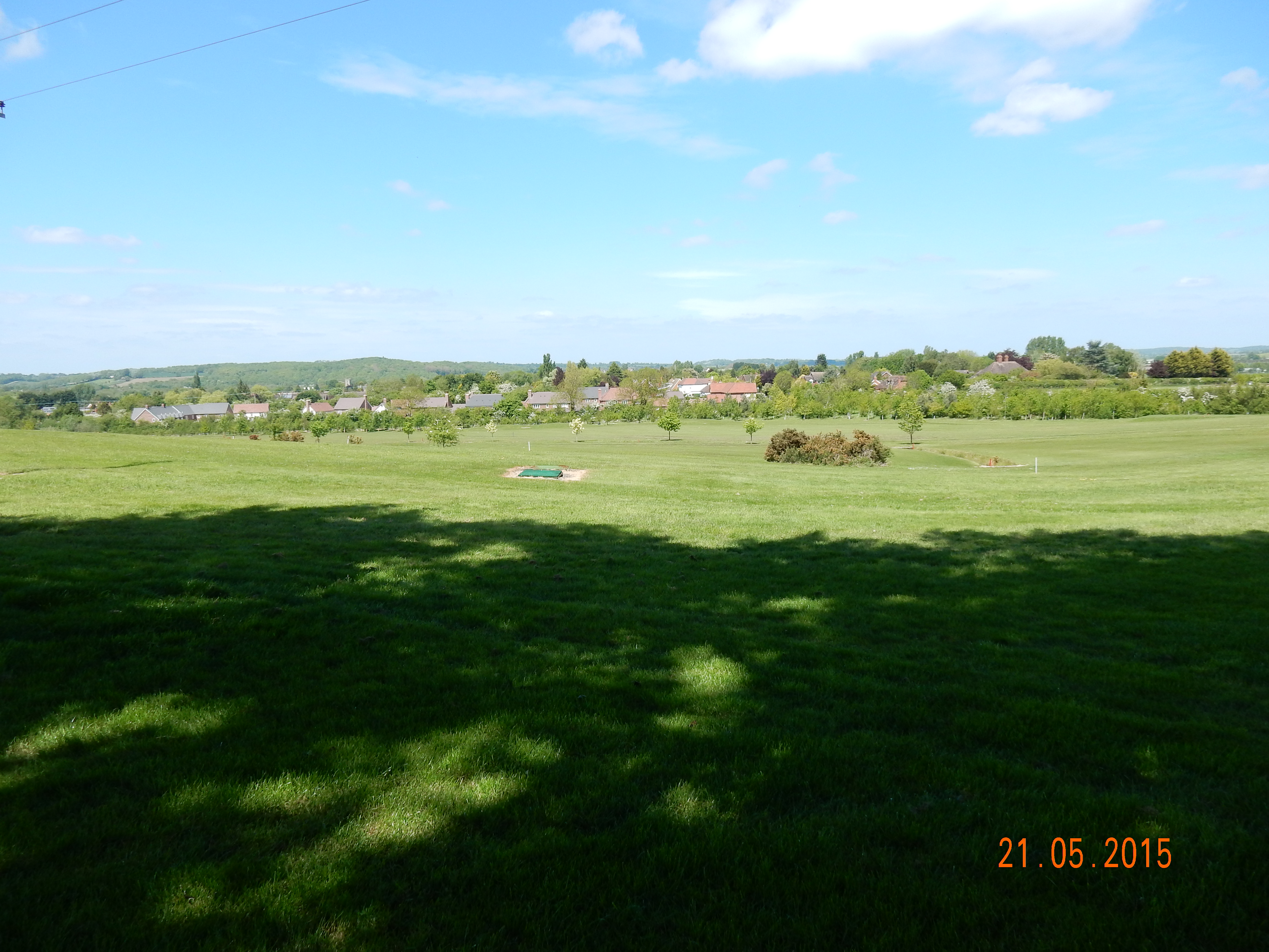
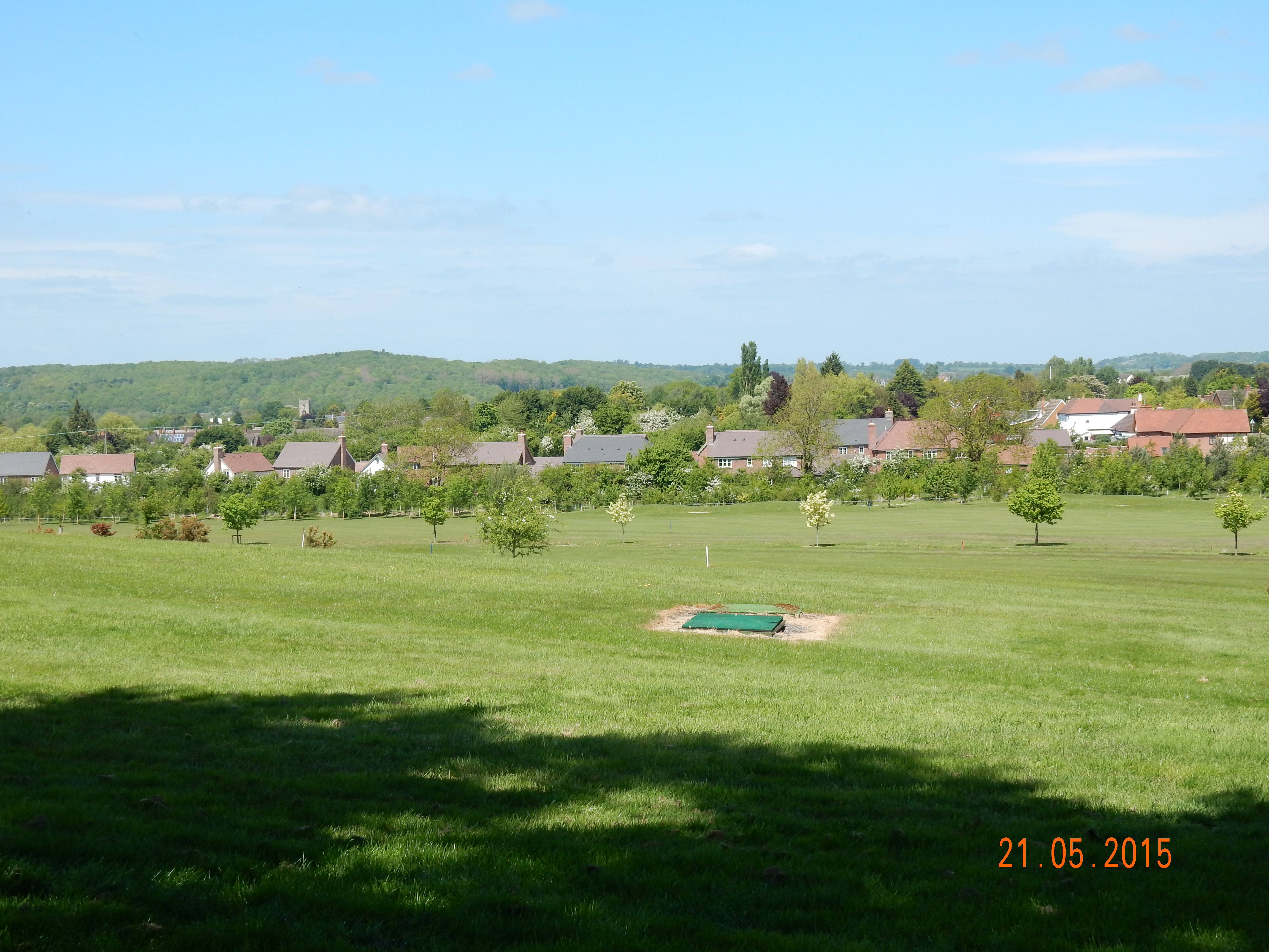
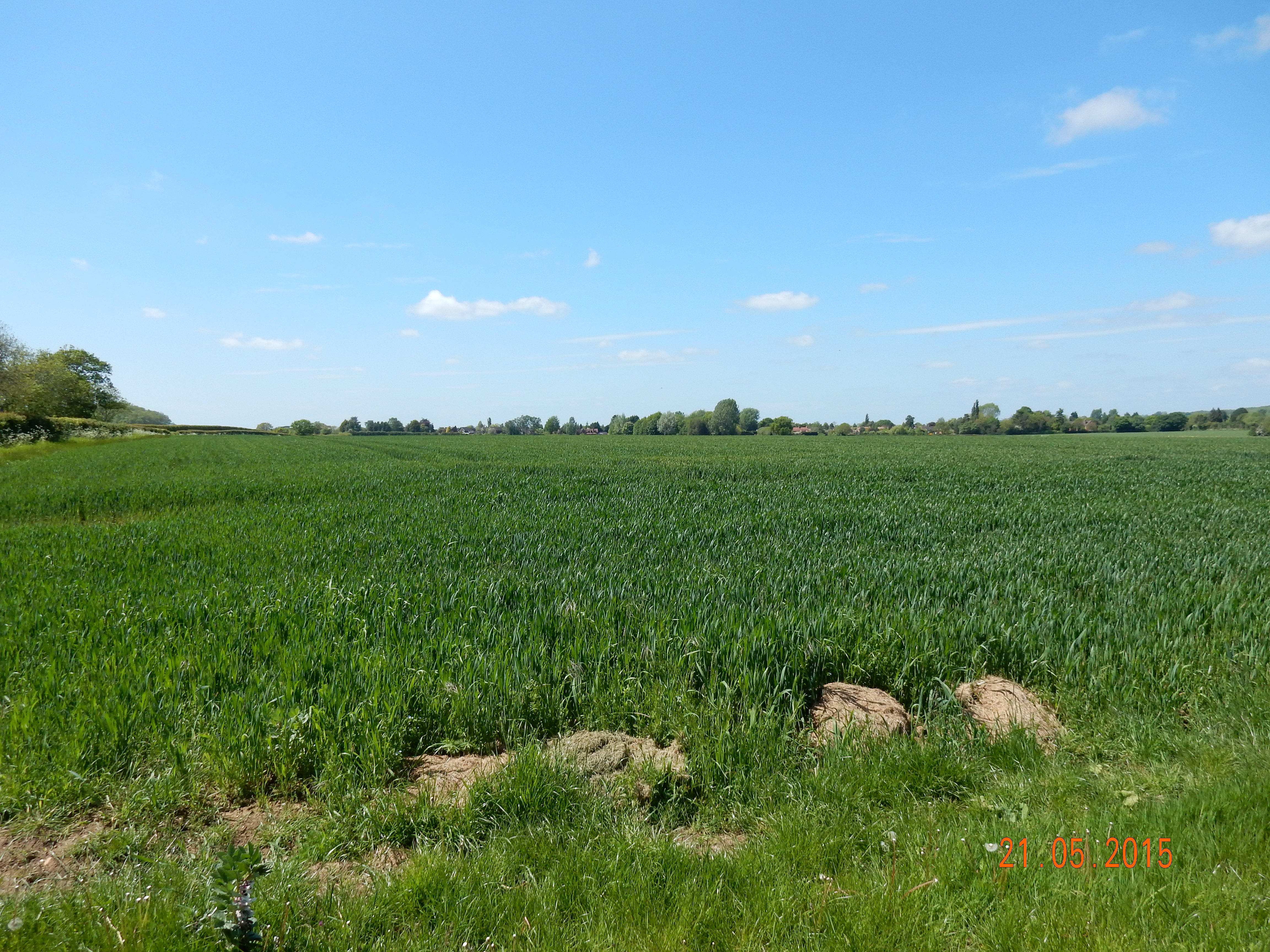
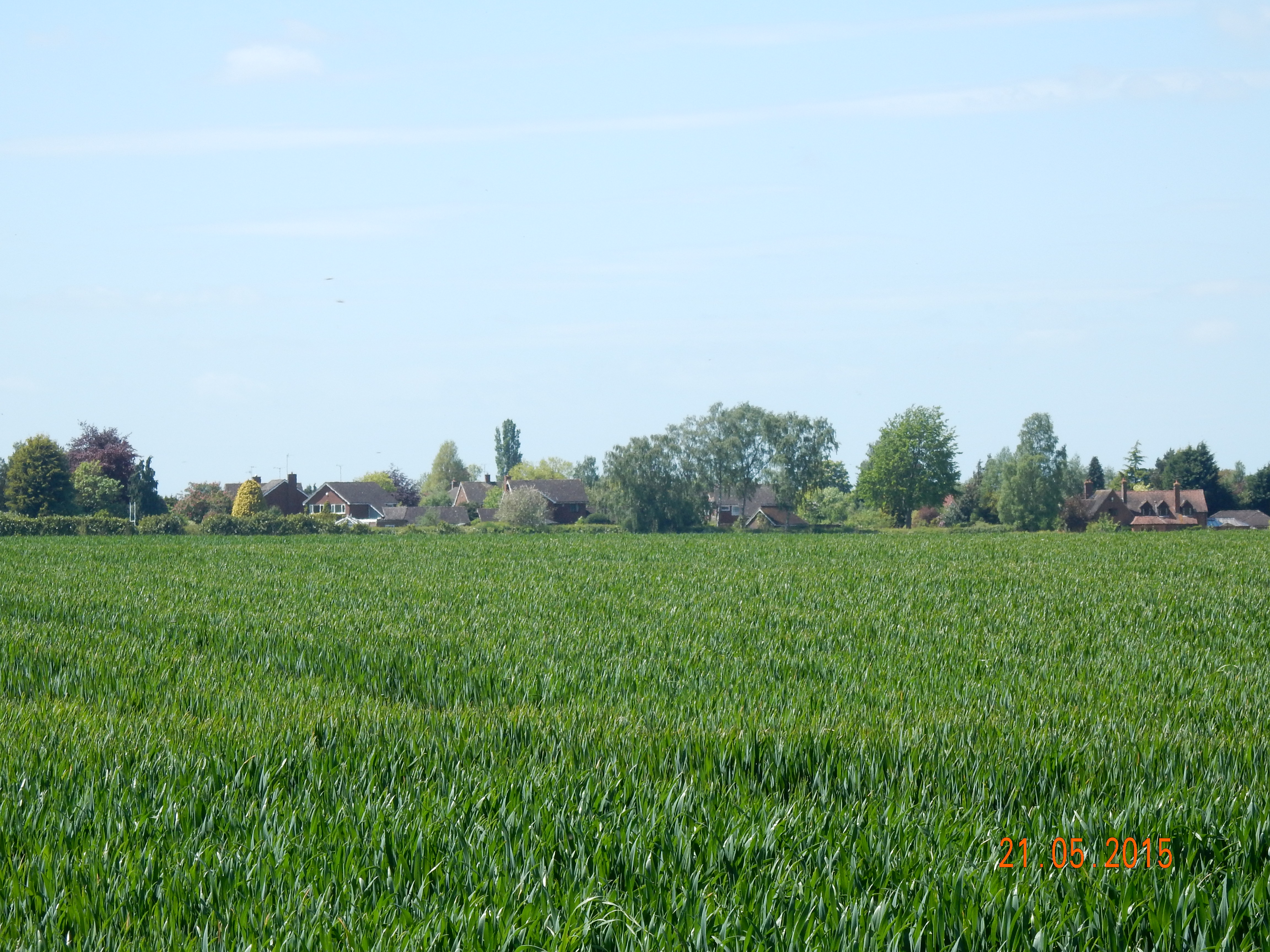
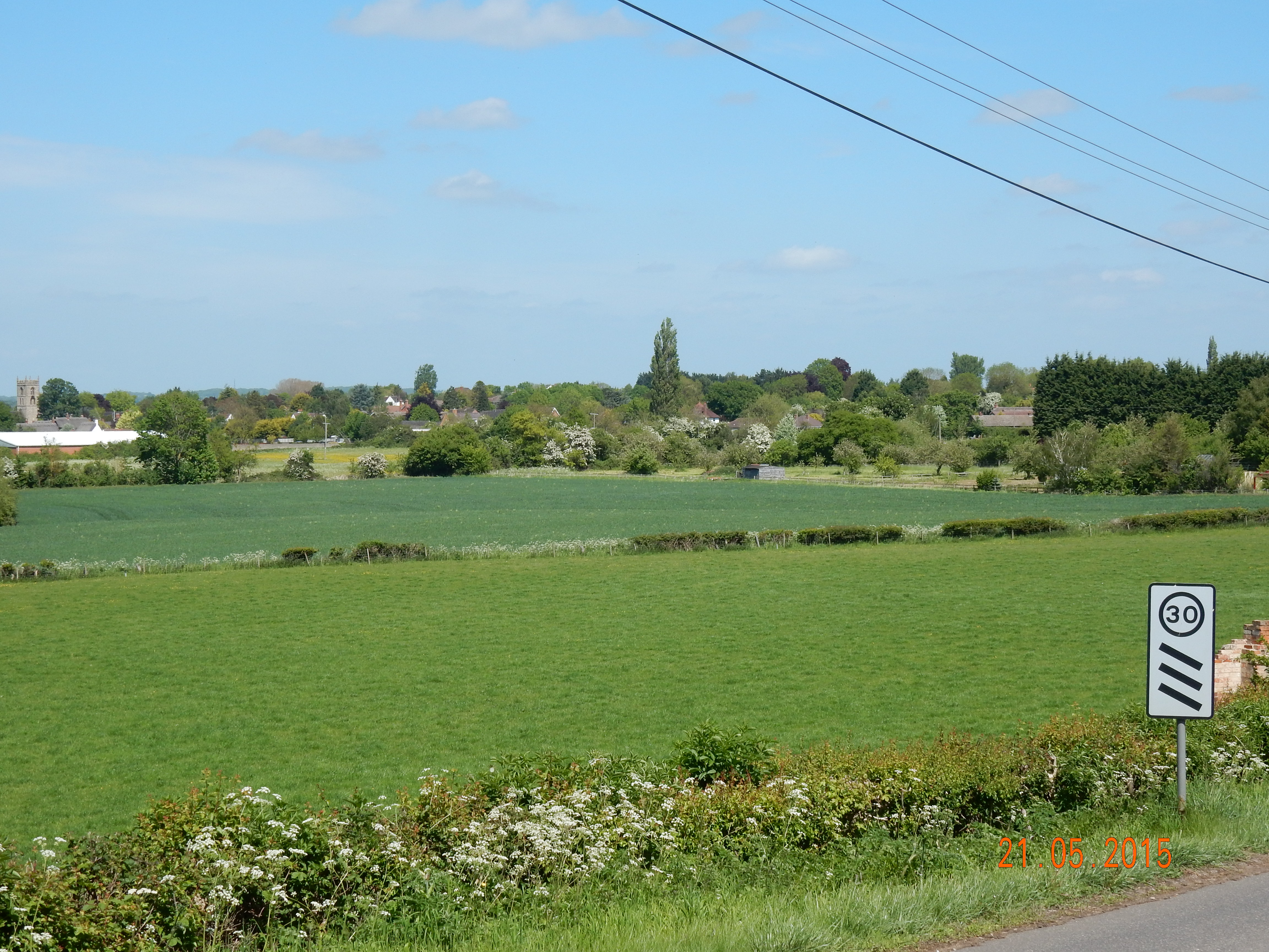
| 2a) | View of the Village from Welford Hill. wide angle. | DSCN0096 | 52°9.479' | -1°47.965' | North by West | 349.59° |
| 2b) | Ditto. narrow angle. | DSCN0097 | 52°9.479' | -1°47.965' | ditto | 338.11° |
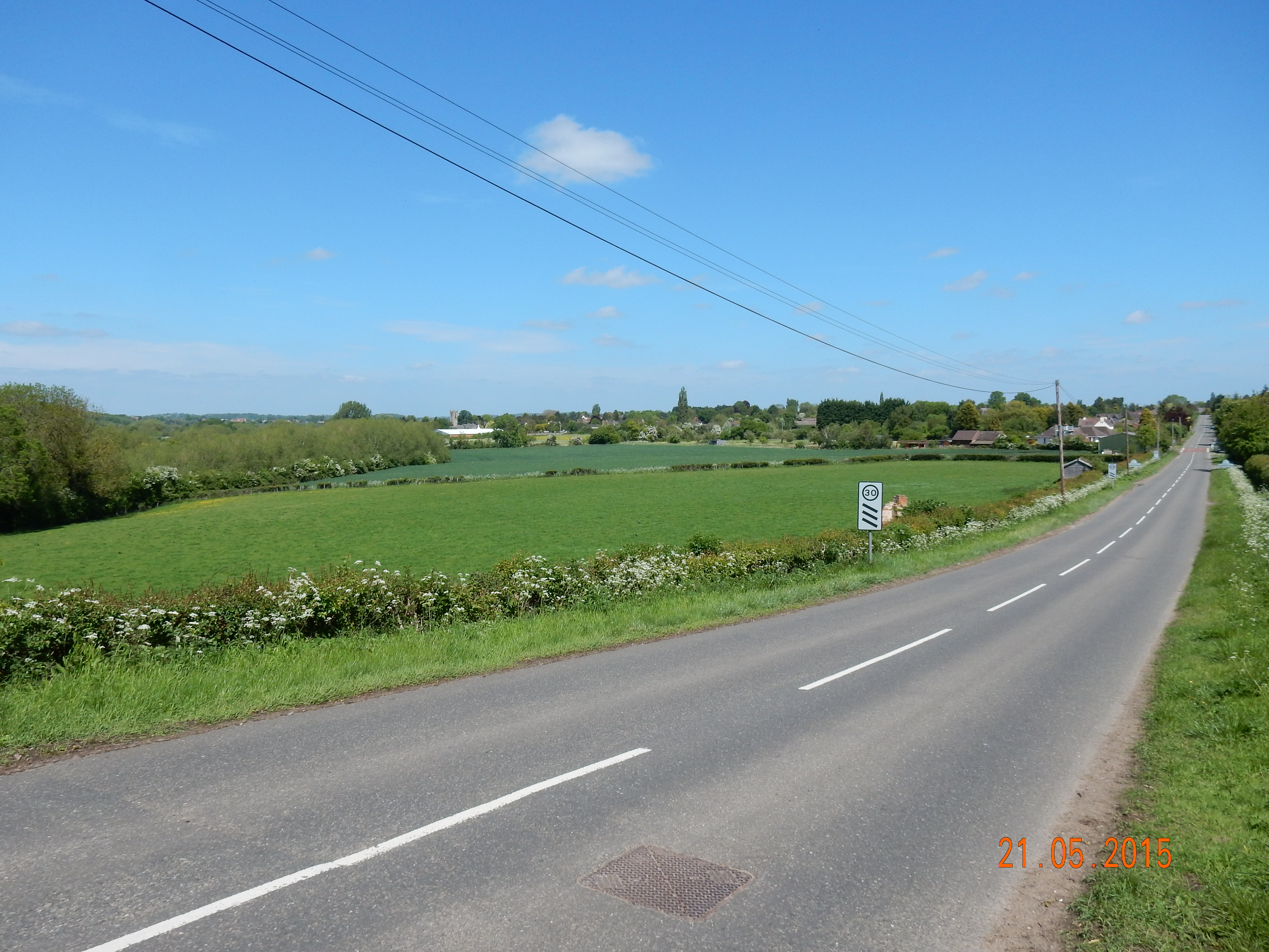
| 3a) | View of the village, Old Station, Evesham Rd. wide angle. | DSCN0071 | 52°10.573' | -1°47.642' | South by East | 164.02° |
| 3b) | Ditto. narrow angle. | DSCN0072 | 52°10.573' | -1°47.642' | ditto | 164.02° |
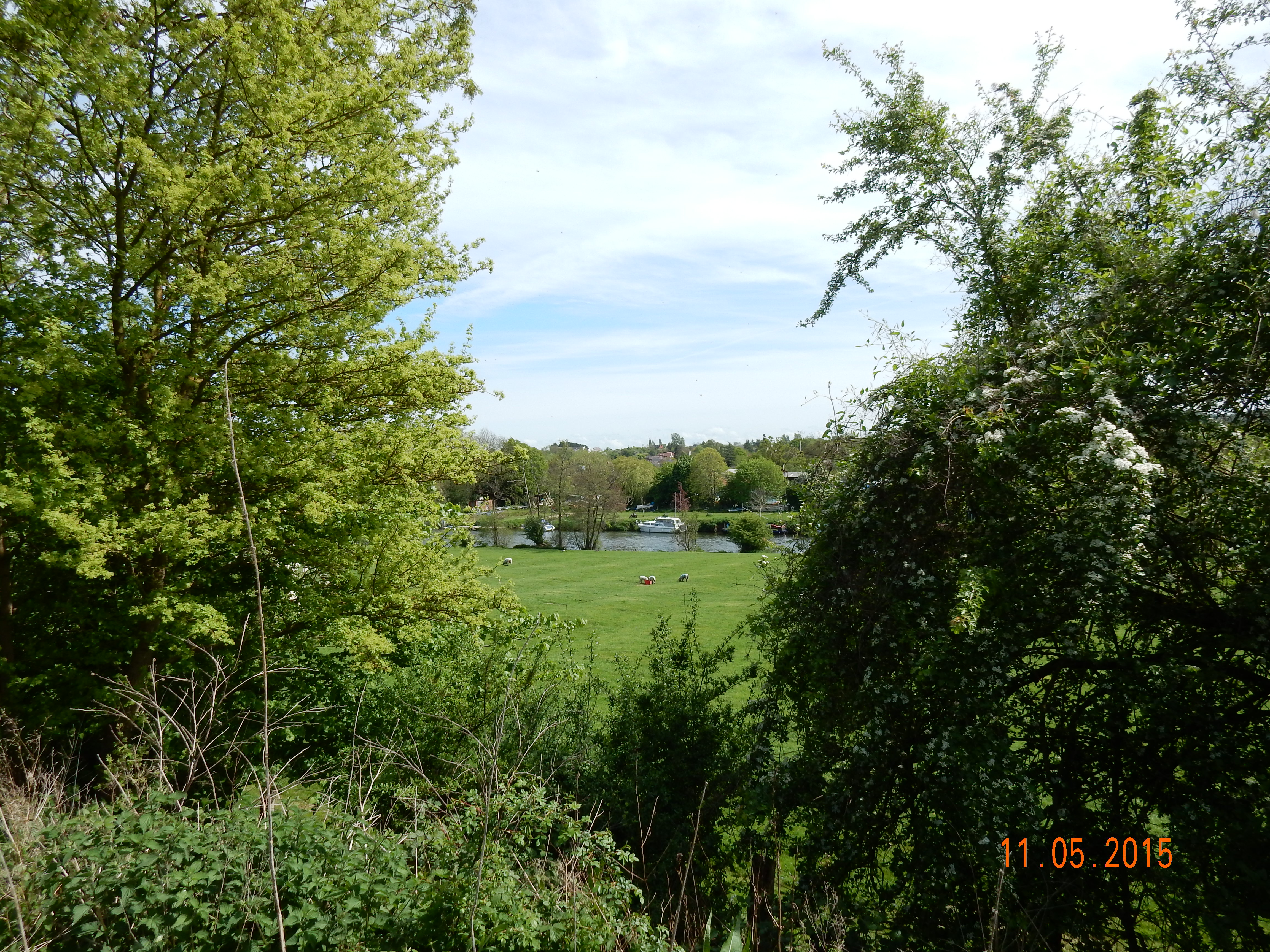
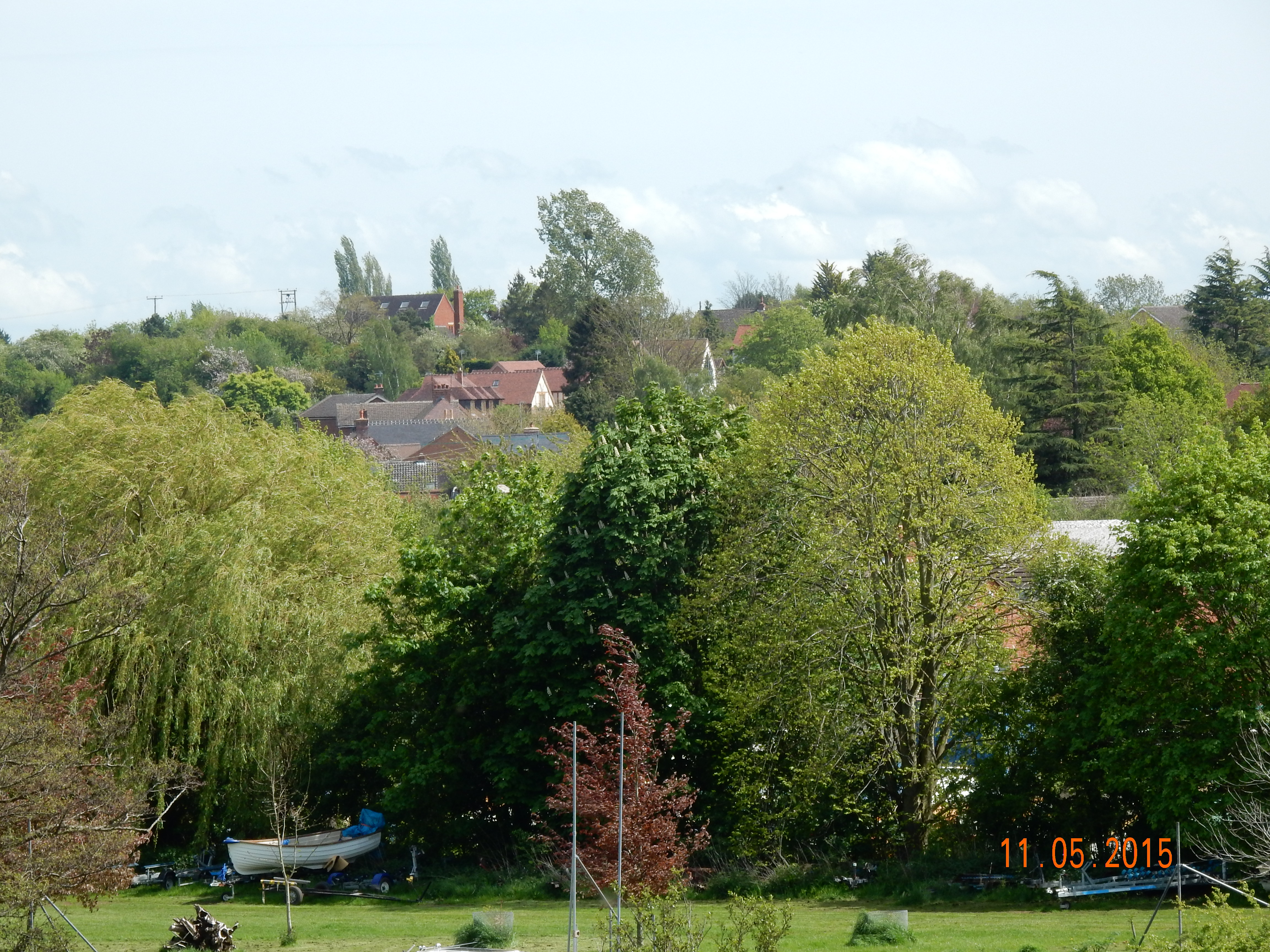
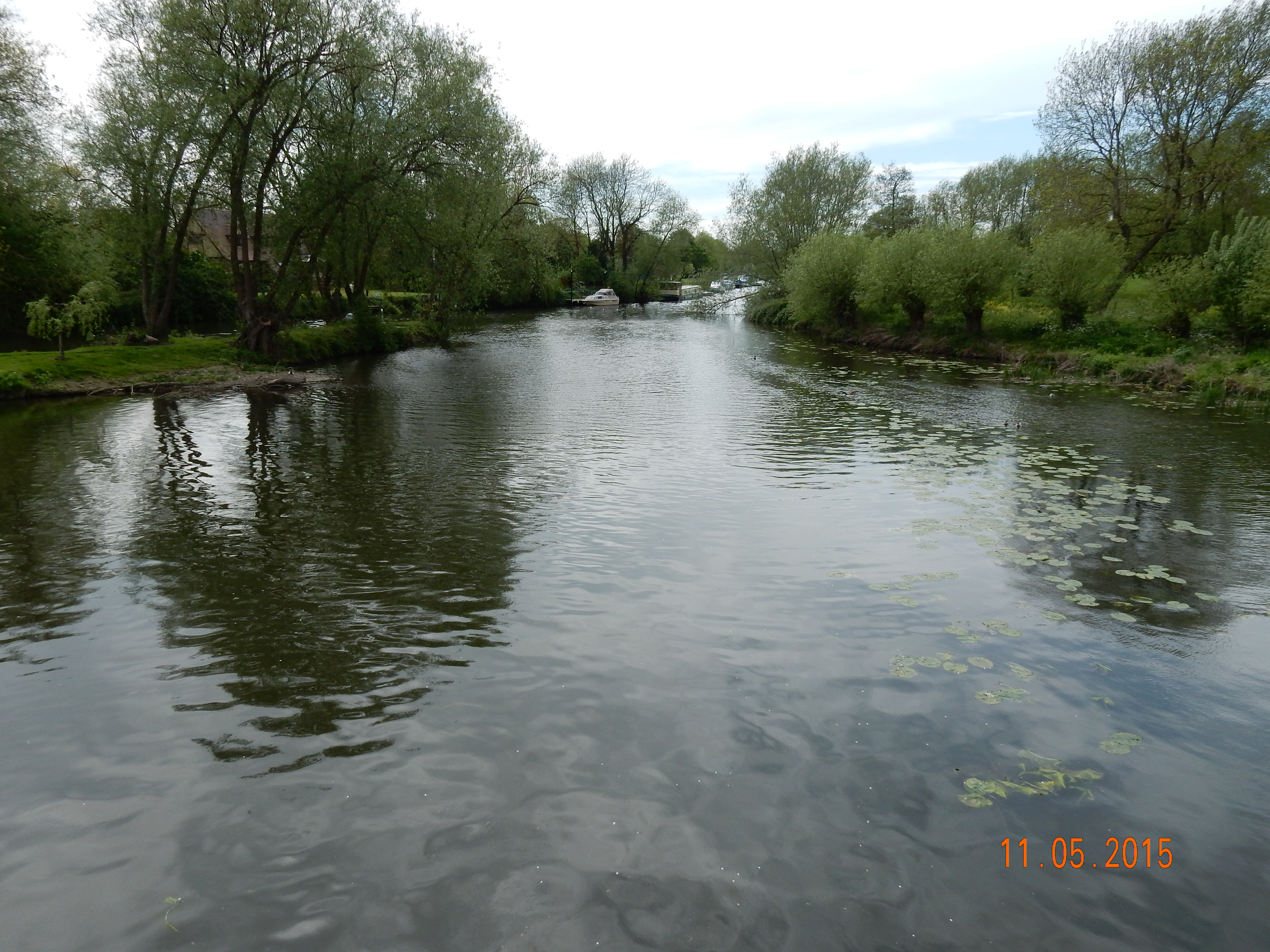
| 4a) | View downstream, Binton Bridge. wide angle | DSCN0078 | 52°10.555' | -1°47.374' | South-West by West | 238.11° |
| 4b) | Ditto. narrow angle. | DSCN0079 | 52°10.555' | -1°47.374' | ditto | 238.11° |
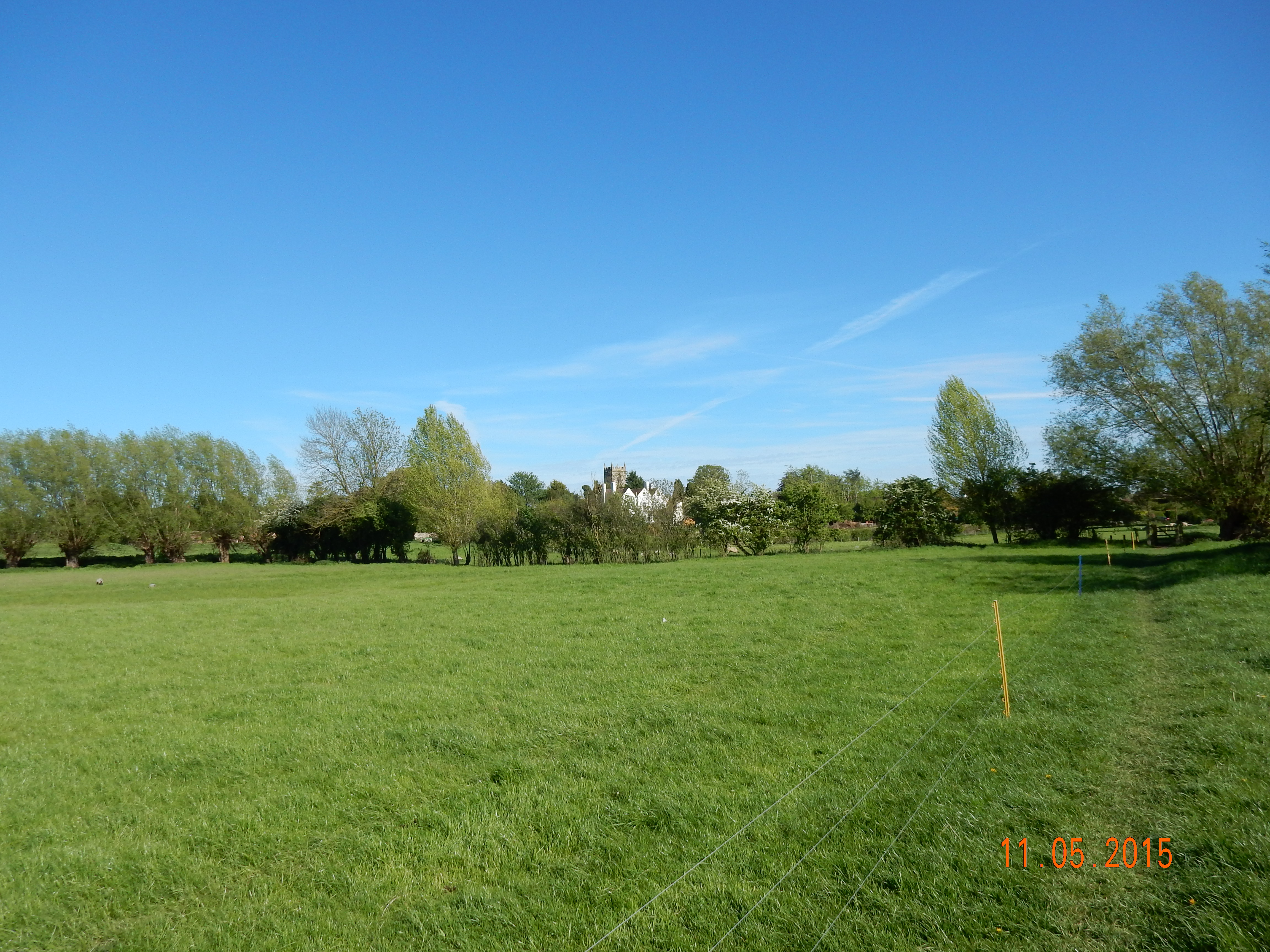
| 5a) | View over Glebe Lands towards St Peter's Church wide angle. | DSCN0085 | 52°10.207' | -1°47.608' | South-East by South | 149.94° |
| 5b) | Ditto. narrow angle. | DSCN0090 | 52°10.207' | -1°47.608' | ditto | 149.94° |
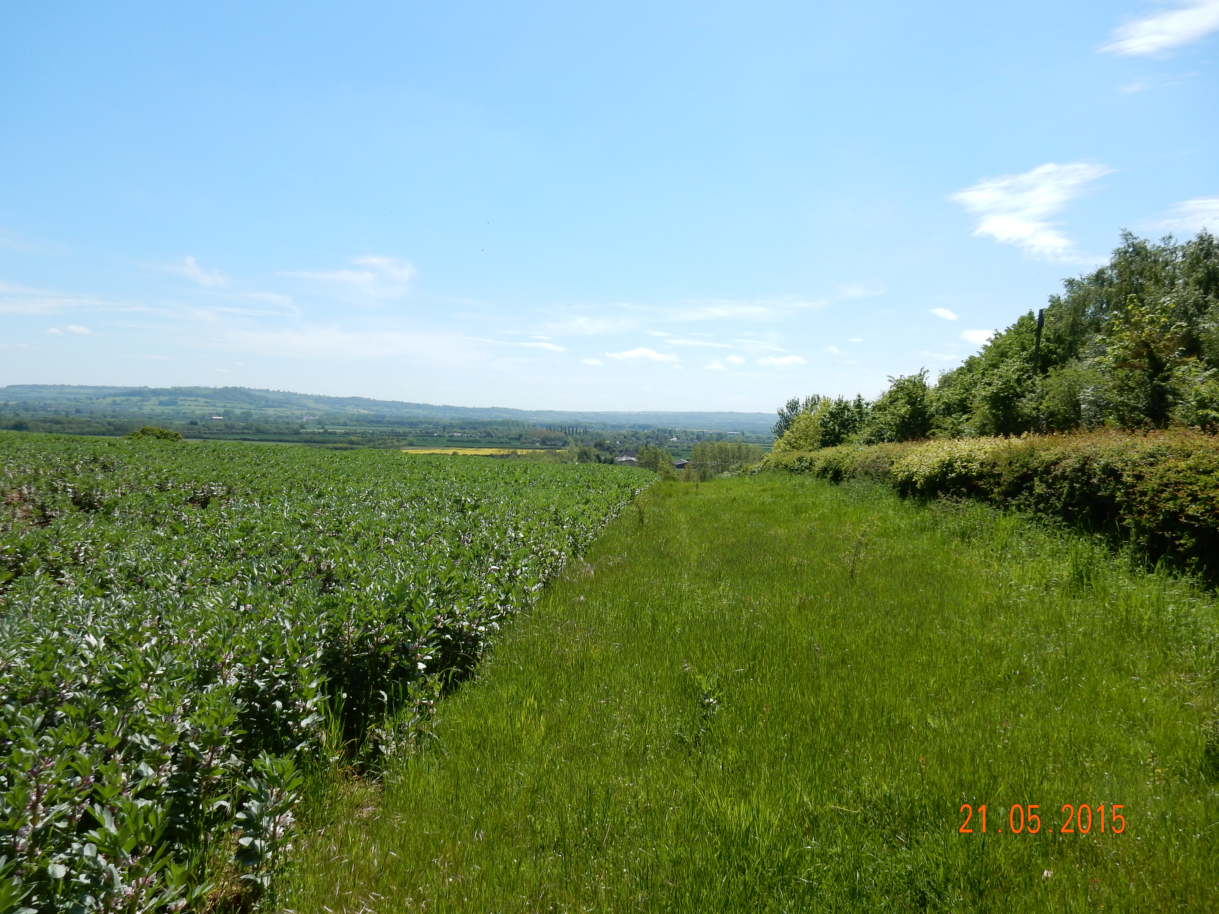
| 6a) | View towards Welford from Weston, Milcote Rd. junction narrow angle. | DSCN0093 | 52°9.694' | -1°46.148' | South-West by West | 250.46° |
| 6b) | Ditto. narrow angle | DSCN0094 | 52°9.694' | -1°46.148' | ditto | 240.42° |
| 7a) | View towards village Barton Rd. wide angle | DSCN0104 | 52°9.675' | -1°47.645' | East by North | 53.88° |
| 7b) | Ditto. narrow angle | DSCN0105 | 52°9.675' | -1°47.646' | ditto | 54.35° |
| 8a) | View south from Welford Hill wide angle. | DSCN0099 | 52°9.044' | -1°46.596' | South | 179.75° |
| 8b) | Ditto. narrow angle | DSCN0101 | 52°9.044' | -1°46.596' | ditto | 181.09° |